| Home Page | Planned Exhibits | Research Support | Want to Help? | Why a Museum in Cyberspace? | Updates |
|
Location of Murray County, Georgia Contributed by Ed Walraven Most of us know the location of Murray County, today, but not so many know where Murray County was in the past. 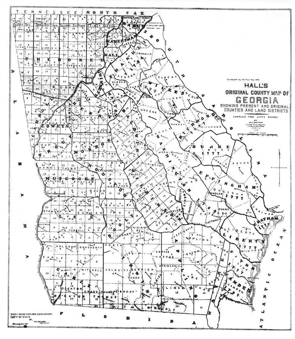 Tap To Enlarge! According to its original boundaries, Murray County comprised the entire northwest corner of Georgia. Later created entirely from Murray County were Walker County (1833), Dade County (1837), and Whitfield County (1851). Source: Redrafting of Hall's 1895 Map of Georgia (http://georgiainfo.galileo.usg.edu/hallsmap.htm), Georgia's Office of Secretary of State.  Tap To Enlarge! Alas again in 1834 the Lines were moved yet again. The map below shows the Location of Murray County in 1834 also note the Additional Counties added to the mix. Murray County actually cornered with Floyd County. The official basis for Georgia claiming possession of all Cherokee lands in Georgia was the Treaty of New Echota (http://georgiainfo.galileo.usg.edu/newechot.htm) of Dec. 29, 1835. In this treaty, a faction of the Cherokees agreed to give up all Cherokee claims to land in Georgia, Alabama, Tennessee, and North Carolina and move west in return for $5 million. Though a majority of Cherokees opposed the treaty and refused to leave, the U.S. and Georgia considered it binding. In 1838, U.S. Army troops rounded up the last of 15,000 Cherokees in Georgia and forced them to march west in what came to be known as the "Trail of Tears." The Maps below are an 1839 view of the area, after much confusion during the 1834 – 1838 era. 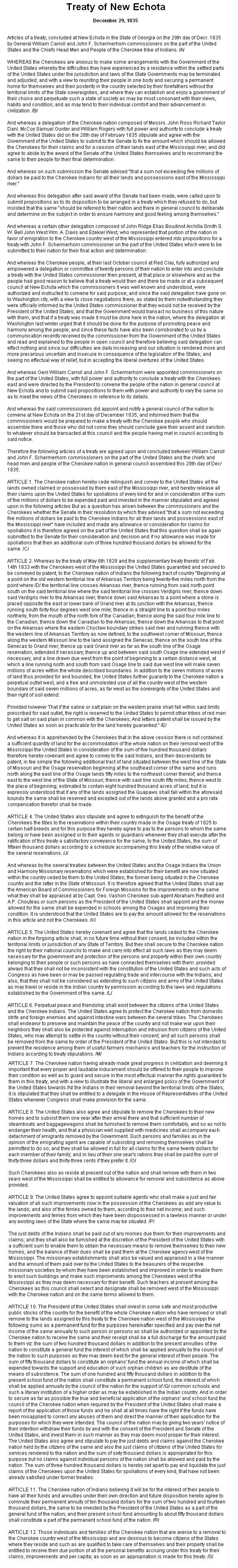 Tap To Enlarge! In 1846 The lines are again moved as per the map below. Source: S. Augustus Mitchell Map of Georgia, 1846 (http://georgiainfo.galileo.usg.edu/histcountymaps/ga1846map.htm) (324 K) 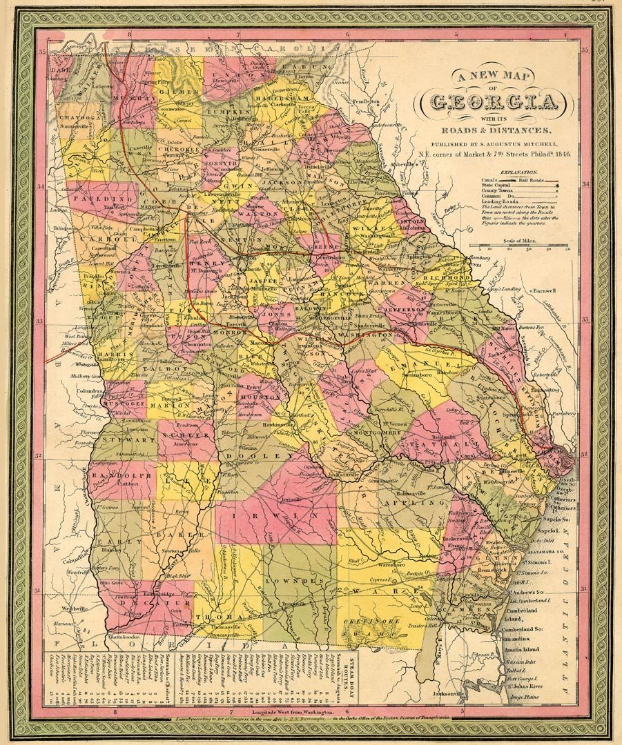 Tap To Enlarge! Murray County Georgia as mapped in1855. Source: J.H. Colton Map of Georgia, 1855 (http://georgiainfo.galileo.usg.edu/histcountymaps/ga1855map.htm) (360 K) 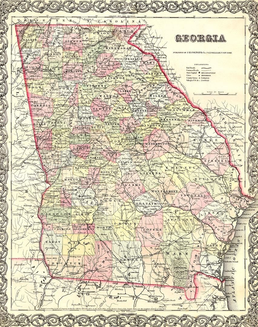 Tap To Enlarge! In 1864 Murray County is defined as being located as in the map below. Source: Lloyd's Topographical Map of Georgia, 1864 (http://georgiainfo.galileo.usg.edu/histcountymaps/ga1864map.htm) The county lines moved so often back in those days that I have to wonder if the people living in some of these areas even knew in what County they actually lived in. How did they know who to pay taxes to? 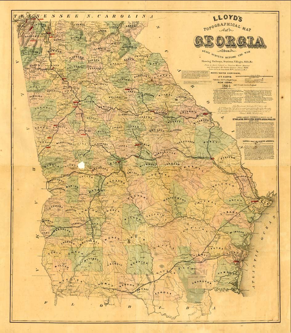 Tap To Enlarge! |
| © Copyrighted 2005 - 2019 Murray County Museum - All Rights Reserved |